The SAR
Knowledge Base
From First Page to First Deployment.
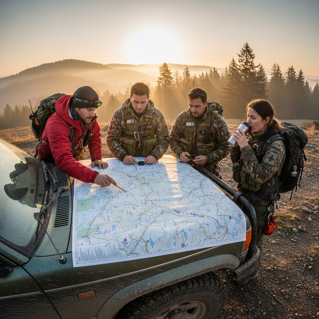
The Call Comes In
Every search begins with a phone call no one wants to make.
When a subject is reported missing, the sequence that follows is governed by ICS — the Incident Command System. The Incident Commander activates the Operations Section, assigns a Planning Section Chief, and begins collecting Last Known Point (LKP) data. Within the first two hours, a hasty team should be en route. Time is a probability multiplier: every hour narrows the area a mobile subject can reach, but also compounds weather exposure.
Field Terminology
Phase Checklist
Downloadable Resources
2 filesICS-214 Unit Activity Log
Official FEMA form for documenting all personnel activity during the operational period.
Initial Dispatch Checklist
Standardized intake form for missing person reports — captures LKP, PLS, subject profile.
Downloadable Resources
2 filesHasty Search Route Planner
Template for mapping high-probability routes from LKP using terrain analysis.
GPS Waypoint Naming Convention
Standardized waypoint naming for interoperable data between teams and agencies.
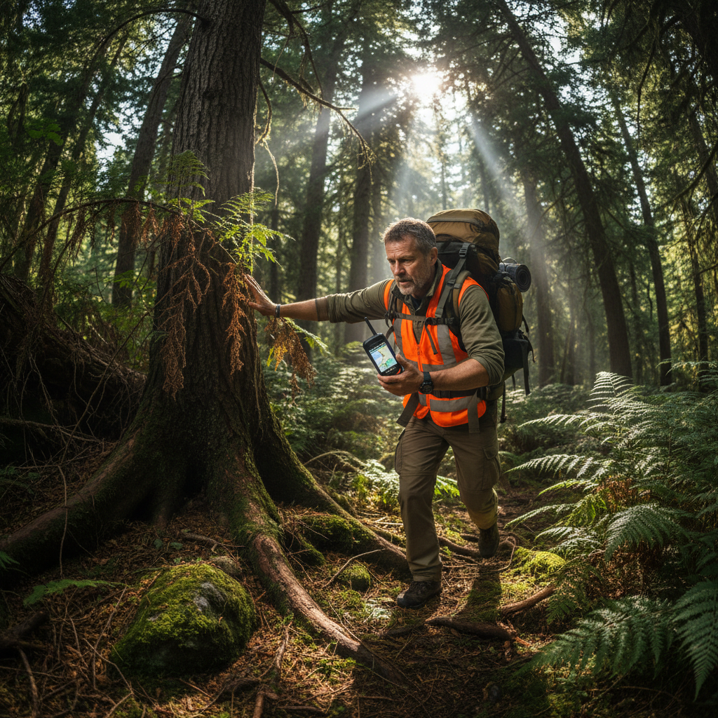
Speed Over Coverage
The highest-probability routes, run fast.
A hasty team moves rapidly through the highest-probability areas — trails, roads, drainages, and any attractor features that match the subject's profile. The goal is not systematic coverage; it's rapid contact. Hasty teams carry minimal gear and move at a pace that precludes thorough searching. They call out the subject's name, listen, and mark GPS waypoints at every decision point. If the hasty fails, the grid teams begin.
Field Terminology
Phase Checklist
Systematic Coverage Begins
When probability demands certainty.
Grid searching divides the search area into segments, each assigned a team with a defined task. The Planning Section calculates Probability of Area (POA) for each segment based on terrain, subject behavior, and distance from LKP. Teams sweep their segment at a spacing determined by vegetation density and target size. Every segment cleared raises the Cumulative POD — the statistical confidence that the subject is not in the searched area.
Field Terminology
Phase Checklist

Downloadable Resources
2 filesProbability of Detection Table
NASAR-validated POD values for terrain types, vegetation densities, and team spacings.
Segment Assignment Matrix
Track team assignments, POA, achieved POD, and completion status across all segments.
Downloadable Resources
2 filesTechnical Rescue Activation Checklist
Go/no-go criteria and activation sequence for HARR, SWR, and structural collapse operations.
Medical Packaging Field Guide
Patient packaging protocols for litter carries in steep, water, and confined environments.
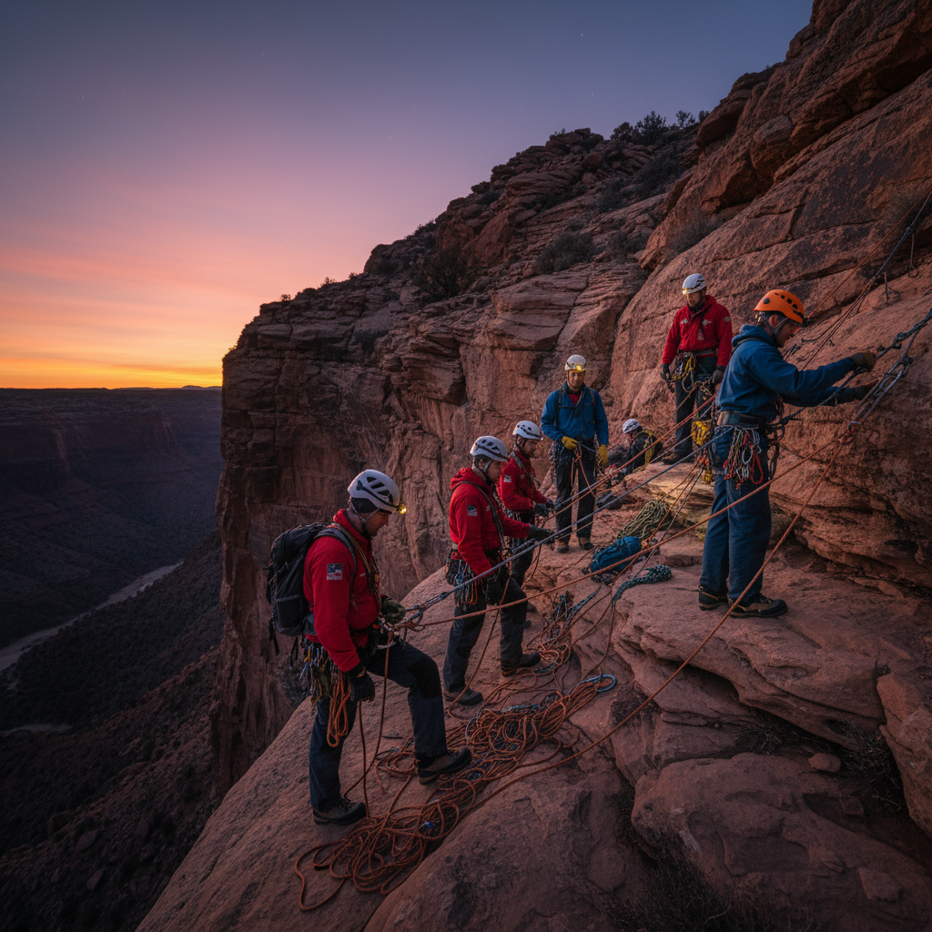
When Terrain Demands Specialists
Vertical, water, and confined-space operations.
When the subject is located in terrain that standard teams cannot safely access — cliff faces, swift water, collapsed structures — Technical Rescue resources are activated. These teams operate under additional ICS branches: High Angle Rope Rescue (HARR), Swift Water Rescue (SWR), and Structural Collapse. Activation requires confirming the subject's location, assessing hazards, and establishing a medical treatment area before any rescuer descends. Scene safety is non-negotiable.
Field Terminology
Phase Checklist
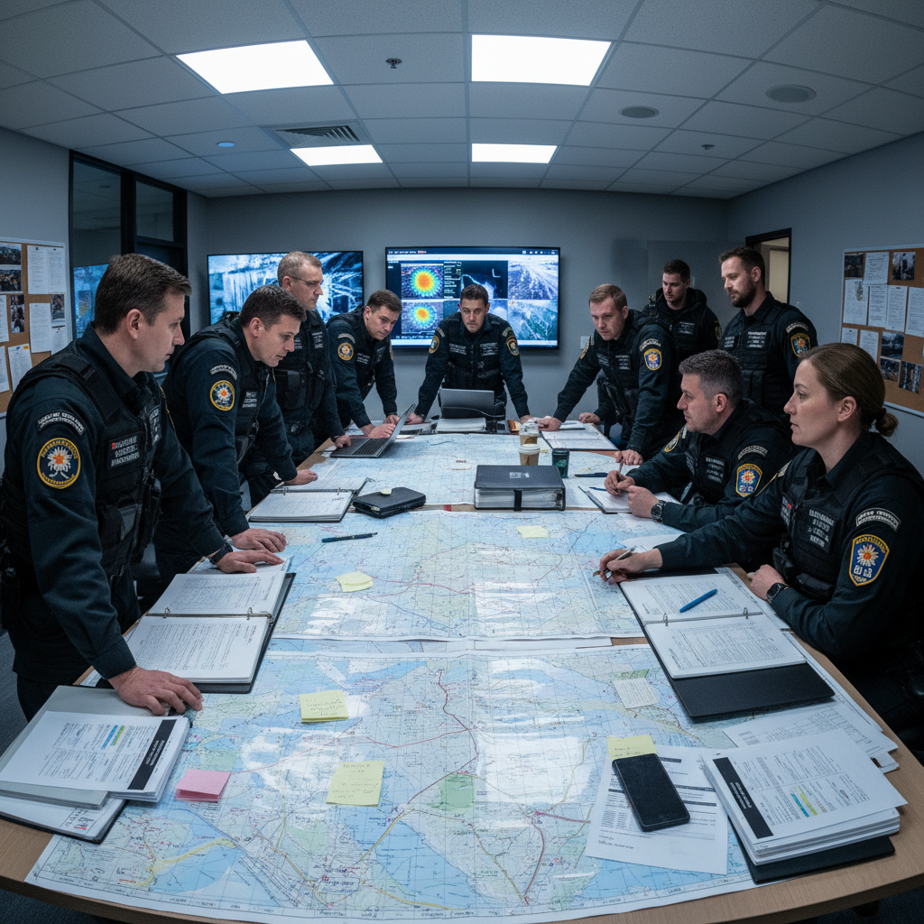
The Operation Closes
Every search ends with a debrief that improves the next one.
Recovery operations — the documented extraction of a subject, whether alive or deceased — require careful evidence preservation and chain-of-custody documentation. After the subject is transferred to medical or mortuary services, all teams return to the ICP for debrief. The After Action Review (AAR) captures what worked, what failed, and what doctrinal changes are needed. This knowledge, systematically recorded, is the foundation of the next team's training.
Field Terminology
Phase Checklist
Downloadable Resources
2 filesAfter Action Review Template
Structured AAR format aligned with FEMA best practices for SAR incident documentation.
Demobilization Checklist
Personnel, equipment, and documentation accountability checklist for operational closeout.
Browse Without Signing Up
All individual resources are freely accessible. Download what you need, when you need it. Gate-free browsing builds the trust that the field manual earns.
ICS-214 Activity Log
Official FEMA ICS-214 form for unit activity logging during operational periods.
Hasty Search Route Planner
Template for mapping high-probability routes from LKP using terrain analysis.
POD Reference Table
NASAR-validated probability of detection values across terrain types and spacings.
K9 Deployment Protocol
Standardized operating procedures for K9 unit integration into search operations.
Water Recovery Procedures
Protocols for drowning victim searches and water recovery operations.
GPS Waypoint Naming Convention
Standardized waypoint naming for interoperable data between teams and agencies.
After Action Review Template
Structured AAR format aligned with FEMA best practices for SAR incident documentation.
Segment Assignment Matrix
Track team assignments, POA, achieved POD, and completion status across all segments.
Lost Person Behavior Profiles
ISRID-based behavioral profiles for 14 subject categories including dementia, children, and hikers.

Everything in One Document
284 pages covering all five operational phases, ICS structure, lost person behavior profiles, and 22 downloadable forms. The same doctrine used by NASAR-certified teams.
Tell us your role in the field
We'll send you the complete manual plus resources tailored to your operational context.
Voices from Volunteers, Leaders & Families
I passed my NASAR certification on the first attempt. The Beacon field manual gave me the doctrine foundation that the weekend course assumed I already had. Every volunteer should start here.
Before storm season, I run my whole team through the Phase 03 Grid Assignment section. The POD tables and segment matrix templates have cut our planning time by 40 minutes per operational period.
When my brother went missing in the Cascades, I had no idea what the searchers were actually doing. Reading through Beacon helped me understand the process and ask useful questions at the ICP. That mattered.
Resources aligned with doctrine from